Pakistan Successfully Launches Advanced Remote Sensing Satellite from China
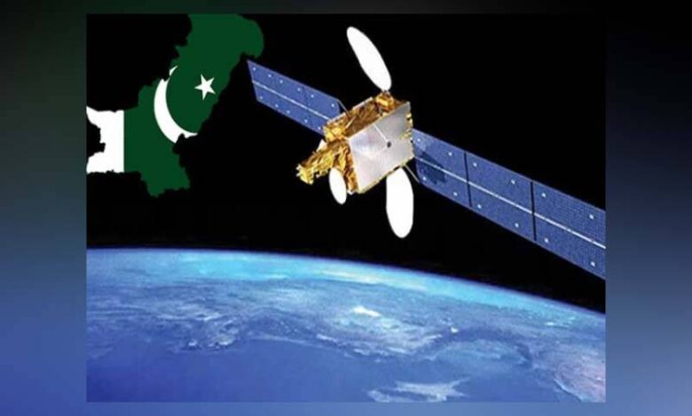
Karachi:Pakistan has successfully launched its latest remote sensing satellite into space from the Xichang Satellite Launch Center in China, between 7:00 and 8:00 AM Pakistan Standard Time. The launch marks a major milestone in the country’s space exploration and technological advancement.
According to Express News, experts and scientists from Pakistan’s Space and Upper Atmosphere Research Commission (SUPARCO) were present at the Chinese launch site to oversee the mission. SUPARCO described the satellite as a significant step toward technological self-reliance and a major achievement in Pakistan’s space program.
A special live broadcast of the launch was shown at SUPARCO’s headquarters in Karachi, with a video message from Project Director Dr. Muhammad Yasar aired from China.
According to a SUPARCO spokesperson, the remote sensing satellite will play a vital role in monitoring urban expansion, infrastructure development, and providing timely alerts for natural disasters such as floods, landslides, and earthquakes.
Experts note that the satellite will not only help in identifying geographical risks but will also support key developmental initiatives such as the China-Pakistan Economic Corridor (CPEC).
Director General of SUPARCO, Iftikhar Bhatti, hailed the launch as a proud moment for the nation, stating, “Today’s satellite launch is clear proof of Pakistan’s growing capabilities. This satellite will significantly support agriculture and ground data analysis.” He added that Pakistan has previously launched satellites and now possesses the capacity to analyze space-based data.
The satellite will aid in early warnings for earthquakes and floods, monitor ground movement, assess water scarcity, and track glacier melting, all contributing to climate and weather-related insights.
The spokesperson for the Ministry of Foreign Affairs confirmed the successful launch and described it as a major milestone in Pakistan’s journey in space and technology. He highlighted that the satellite has high-resolution capabilities and can conduct continuous Earth observation 24/7.
He further noted the satellite’s potential to significantly enhance Pakistan’s capabilities in urban planning, infrastructure development, disaster management, agriculture, food security, environmental protection, deforestation monitoring, climate analysis, and water resource management.
Federal Minister for Planning, Ahsan Iqbal, congratulated the nation, SUPARCO’s entire team, engineers, and scientists on the successful launch. He expressed gratitude for China’s strong support and confirmed that the satellite had successfully reached its orbit.
Ahsan Iqbal added that Pakistan aims to regain a leadership role in space technology, with plans to send an astronaut into space next year in collaboration with China, and to successfully complete a lunar mission by 2035.