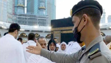
Stunning Satellite Images of Arafat Captured from Space During Hajj
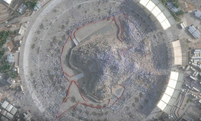
Islamabad (Special Correspondent) – On the occasion of Wuquf-e-Arafat, the greatest pillar of Hajj, Saudi satellites operated by the King Abdulaziz City for Science and Technology (KACST) captured breathtaking images of the plains of Arafat from space.
The stunning satellite images were taken from an altitude of approximately 518 kilometers above Earth, clearly showing the massive gathering of millions of pilgrims on the Day of Arafah.

The released images present a remarkable aerial view of the world’s largest tent city, Jabal al-Rahmah, and surrounding roads filled with seas of pilgrims dressed in white Ihram garments, creating a historic and spiritually inspiring scene.
According to Saudi space authorities, the advanced satellites are not only being used to document the sacred pilgrimage but also to provide high-quality data and imagery aimed at strengthening security, crowd control, and traffic management systems in Makkah and the holy sites.