Satellite Images Reveal Large-Scale Forest Loss in Upper Dir, Khyber Pakhtunkhwa
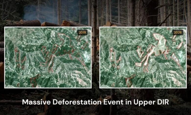
PESHAWAR: Recent satellite imagery has revealed significant deforestation in Khyber Pakhtunkhwa, particularly in the Sheringal area of Upper Dir district, where a substantial decline in forest cover has been recorded between 2019 and 2026.
According to the data, approximately 66.58 hectares of forest land in the village of Jatkool in Sheringal have been cleared during this period. Once lush green areas have now turned into barren land, indicating a severe loss of tree cover.


Environmental experts have expressed serious concern over the situation, warning that large-scale deforestation could increase the risks of soil erosion and landslides while also severely impacting local biodiversity and the overall ecosystem.
Experts further suggest that the trend points to possible illegal logging activities and weak forest protection and management systems in the region.
The findings highlight growing environmental challenges in the mountainous regions of northern Pakistan, where forest conservation remains a critical issue.